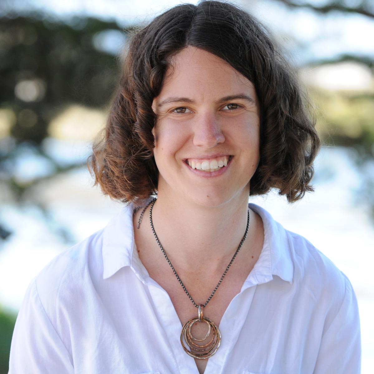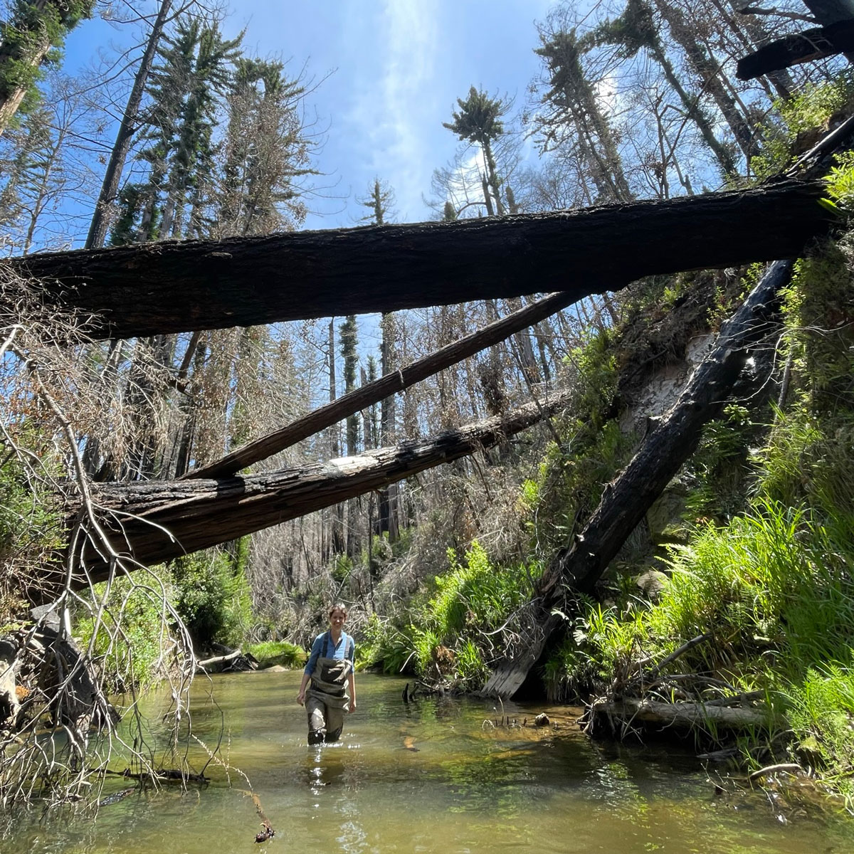
Team Member Candid Photo

Chelsea Neill specializes in fluvial and coastal hydrology and geomorphology, principally in support of habitat management and channel repair projects. Chelsea is the Santa Cruz office manager and manages projects related to groundwater/surface water interactions, sediment transport, and planning and monitoring stream restoration projects. Chelsea has extensive experience collecting and analyzing topographic, bathymetric, and hydrologic data, including water quality and sediment samples.  Chelsea is experienced in spatial and temporal analysis and remote-sensing through GIS platforms, as well as analysis through hydrologic modeling. Chelsea has conducted a variety of field investigations related to salmonid fisheries and assists in planning and monitoring stream restoration project.

  • California PG 9743
  • M.S. Watershed Science, Applied Marine and Watershed Science Program, California State University- Monterey Bay, 2015
  • B.S. Geosciences, Denison University, 2009
  • San Lorenzo Valley Water District Habitat Conservation Plan, Santa Cruz County, California
  • Rapid Geomorphic Assessment of Volunteer Streamwood for Ecological Benefits and Community Safety, Santa Cruz County, California
  • Carr Lake - Wetland, Gabilan and Hospital Creek Restoration Design, City of Salinas, Monterey County, California.
  • Santa Rita Creek Stream Management Study, Monterey County, California
  • Santa Clara Valley Water District High Flow and Sediment Sampling, Santa Clara County, California
  • Miller Creek Geomorphic Monitoring, Marin County, California
  • Neill, C., Leiker, S., and Smith, D., 2015, January 2014 aquatic habitat assessment on San Jose and Potrero Creeks, Santa Lucia Preserve, Monterey County, California: Prepared for the Santa Lucia Conservancy. The Watershed Institute, California State University Monterey Bay, Publication No. WI-2015-01, 14p.
  • Neill, C., and Smith, D., 2015, Summary of precipitation and streamflow for Potrero and San Clemente Creeks in Water-Year 2014, Santa Lucia Preserve, Monterey County, California: Prepared for the Santa Lucia Conservancy. The Watershed Institute, California State University Monterey Bay, Publication No. WI-2015-02, 29p.
  • Neill, C., Missaghian, J., Noble, S., Inman, J., Malik, A., and Smith, D., 2014, Comparison of LiDAR and ground based measurements to assess LiDAR accuracy near the Carmel River in Monterey County, California. The Watershed Institute, California State University Monterey Bay, Publication No. WI-2014-06, 61p.

The best part of working at Balance is the diversity in the type of projects on which I work, coupled with the highly collaborative working environment.

Carmel River Watershed